Table of Contents
Overview
The route map is powered by Trimble Maps, and in Route Settings you can turn on a few overlays to see more than just your stops. These can be turned on before or after you optimize your route.
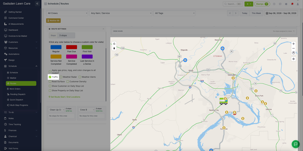
Traffic
Check “Traffic” to color-code the roads on the map by how well traffic is currently moving:
- Green — normal flow, no delays
- Yellow — moderate slowdowns
- Red — heavy delays
Traffic incidents like lane closures or construction can also show up directly on the map.
Weather Radar
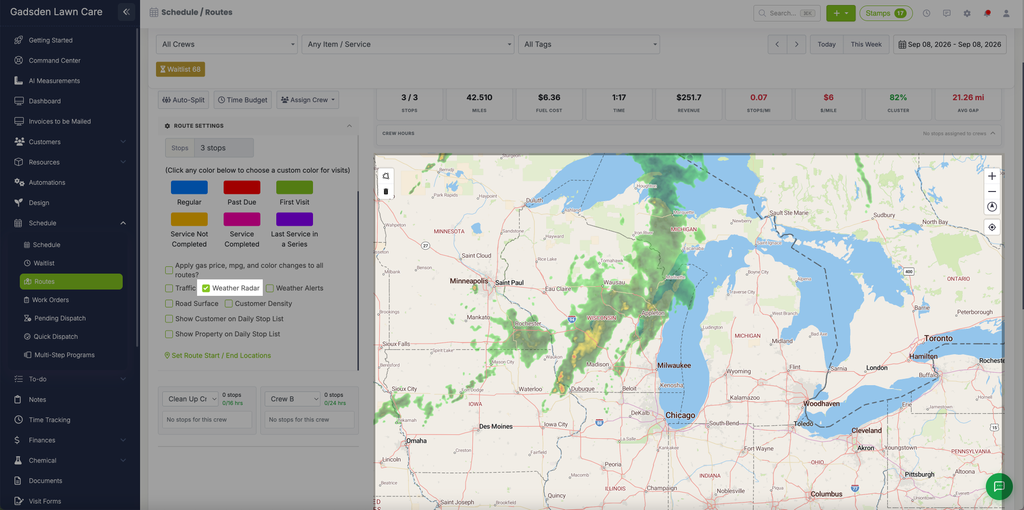
Check “Weather Radar” to overlay current precipitation — rain and snow — using a gradient of colors based on intensity, so you can see storms moving through your service area.
Weather Alerts
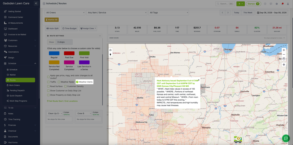
Check “Weather Alerts” to show active weather alerts from the National Weather Service (U.S. only) as shaded areas on the map. Click a shaded area to see the alert details.
Road Surface
Check “Road Surface” to see the current condition of the roads — for example, wet, icy, or closed. Unlike the other overlays, this one is meant to be used after your route is already showing on the map.